LiDAR Data Now Available
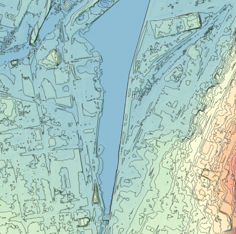
Light Detection and Ranging (LiDAR) measures the return time of a laser light to reflect off objects on the ground to determine surface and ground elevations and topography. Grey County acquired LiDAR for the Georgian Bay lake fringe watersheds of Grey County in 2019 in collaboration with the Grey Sauble Conservation Authority and the Town of the Blue Mountains.
This LiDAR elevation data is now publicly available for non-commercial use to agencies. That includes any municipality, contractor working for a member municipality, or a partner(s) for a specific project, educational institution, non-profit agency or individual for research purposes. Any agency who wishes to use the data for commercial use can purchase the data at a cost of $250 per 1 square kilometer tile. The data includes Calibrated and Classified Raw Data in LAS format, Digital Elevation Model (DEM) grid files in elevation (TIF format) with cell size of 1m, Digital Surface Model (DSM) grid files in elevation (TIF format) with cell size of 1m, and 0.5m contours (SHP format).
You can view the coverage area and make a request to acquire the data by completing the web form link: Grey County LiDAR Data Request Form
Requests anywhere within the Town of the Blue Mountains should be directed to gismaps [at] thebluemountains.ca (subject: LiDAR%20Request) (gismaps[at]thebluemountains[dot]ca). You can also find more information about requesting LiDAR data for the Town of Blue Mountains link:
For more information contact:
Jody MacEachern
Senior Manager Information Technology
519-372-0219 ext. 1273
jody.maceachern [at] grey.ca (jody[dot]maceachern[at]grey[dot]ca)


